Identifying Intersite Discrepancies

The following procedure and tools allow the forecaster to view discrepancies between the local forecast and those from other sites. It is important to note that this method is presented only as a beginning to this complex problem and is offered not as a solution, but, rather, as a way to begin the conversation between developers and forecasters about how to utilize our computer power to accomplish intersite coordination. The exercises will familiarize you with the procedure and tools and show you how to run them. We hope that this will serve as a launching point for feedback and brainstorming.

In order to perform these exercises, you should have familiarity with creating and running Smart Tools and Procedures. See the Smart Tools Training Guide.

Intersite Coordination Procedure
   Exercise Discrepancy-1 -- Examining the "Swath" Edit Area
   Exercise Discrepancy-2 -- Running the ISC_Discrepancies Procedure
Intersite Coordination Tools
   Exercise Discrepancy-3 -- Running the ISC Tools
Modifying Intersite Coordination Procedure and Tools


Intersite Coordination Procedure

Exercise Discrepancy-1 -- Examining the "Swath" Edit Area

In this exercise, we will examine the "swath" edit area set up by the server around the CWA. You can think of a "swath" as a doughnut-shaped object around the border of the CWA/Marine Zones. This is the area in which we will be checking for discrepancies.
  1. Select Main Menu-->Edit Areas-->ISC-->ISC_Tool_Area.
  2. Make sure the automatically generated area is satisfactory to you. If you want to make minor modifications, do so, and then re-save the area under the same name, "ISC_Tool_Area."
Example of the ISC_Tool_Area Swath:


Exercise Discrepancy-2 -- Running the ISC_Discrepancies Procedure

In this exercise, we will run the ISC_Discrepancies procedure to see how it works.
  1. Select Main Menu-->Consistency-->ISC_Discrepancies. A dialog will appear allowing you to choose Weather Elements and a Time Range. Initially, simply select Run/Dismiss.
  2. You will see grids highlighted in red where discrepancies were found. Make sure you are in ISC Mode by clicking the ISC Mode button on the button bar. Examine the highlighted grids to see if the discrepancies are apparent.
  3. To turn off the highlights, select Main Menu-->Consistency-->Clear All Highlights.
ISC Discrepancy Dialog

After running the ISC Discrepancies Procedure, grids that exceed the NDFD discrepancy threshold are highlighted in red or orange in the Grid Manager:


Intersite Coordination Tools

There are four tools to help identify discrepancies:
  1. Show_ISC_Highlights -- highlights grids that are discrepant. This is the tool called by the ISC_Discrepancies Procedure.
  2. Show_ISC_Grid -- creates a discrepancy grid to be viewed from the Grid Manager.
  3. Show_ISC_Area -- creates an edit area identifying where discrepancies were found.
  4. Show_ISC_Info -- creates a dialog containing information about each segment (e.g., border) and how "discrepant" each border is.
Note: These tools are baselined versions of Tim Barker's (BOI SOO) set of ISC tools

These tools can be run as any other smart tool. In addition, they are automatically added to the Grid Manager popup menu and thus are easily accessible.

Exercise Discrepancy-3 -- Running the ISC Tools.

  1. From a grid in the Grid Manager, select B3-->Show_ISC_Highlights. If discrepancies are found, the grid will be highlighted in red. When you have found a grid with discrepancies, run the B3-->Show_ISC_Area tool. This will display an edit area in which discrepancies were found.
  2. Run the B3-->Show_ISC_Grid tool. This will display a grid of the discrepancy values. The new weather element that was created is a temporary element. It will appear in the Spatial Editor legend as well as the Weather Element Browser. However, it is not saved in the server, so if you unload it or shut-down the GFE, it will be gone. Try unloading the temporary element from the legend.
  3. You can clear the highlight on the grid by selecting B3-->Clear Highlight.
  4. Run the B3-->Show_ISC_Info tool. This will display a dialog containing statistics about each border.

This is the ISC grid that we will examine using the ISC tools.  Note that the BOU CWA temperatures are higher than the adjacent CYS and GLD temperatures:

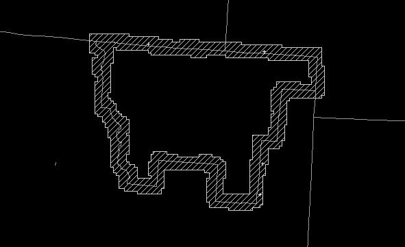
This is the discrepancy area created by the Show_ISC_Area tool. It highlights those locations in the isc swath where discrepancies were found:

This is the resulting discrepancy grid after running the Show_ISC_Grid tool:


Modifying Intersite Coordination Procedure and Tools

The Intersite Coordination Procedure and Tools are based on the ISC_Utility and the ISC_Utility_Local files which can be found in the Edit Action Dialog Utilities window. You can override the default settings in the ISC_Utility_Local file. Do not change the ISC_Utility file itself as this may be updated in future releases. For more information on Utilities, see the Smart Tool Training Guide Utilities Section. The ISC_Utility_Local file allows you to override various items within the ISC_Utility file. See the documentation in these files for more information.